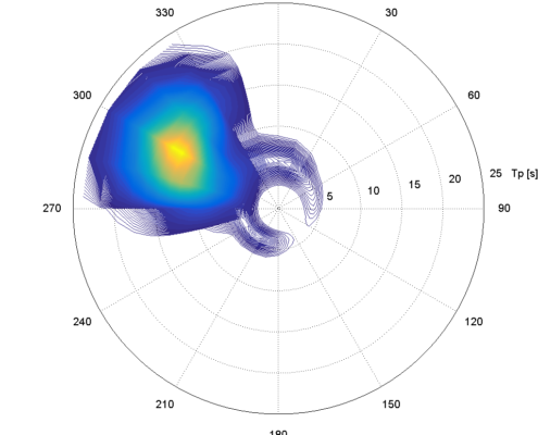
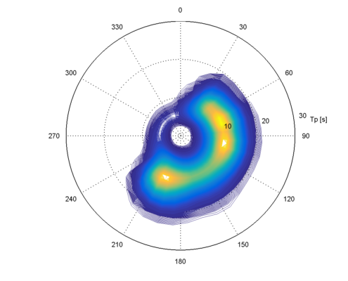
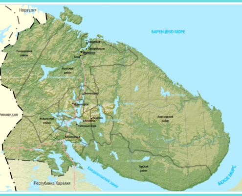
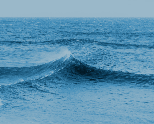
Offshore Waves
Aktis Hydraulics has considerable experience in-house with application of the following models:
- Wave modelling:
- wind seas, swells: SWAN
- infragravity waves: 1DSB, SWASH
- Harbor wave agitation: PHAROS, DINA, SWASH
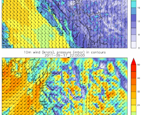
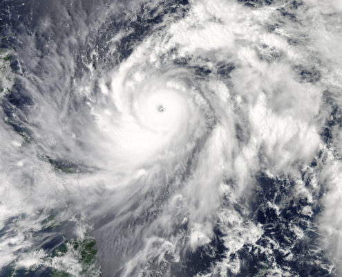
- Atmospheric modelling: WRF, cyclone parametric models
- Squall analysis;
- Flow modelling: Delft3D, ADCIRC
- Extreme value analysis:
- Standard stats
- Weather windows
- Persistency analysis
- Databases access
SWAN (Delft University of Technology)
SWAN is an advanced coastal and regional scale spectral wave model. It is a two-dimensional, third-generation, spectral wave model. SWAN solves the energy balance equation in the computational domain. The wave energy is discretized in a frequency and directional domain at each node of the spatial computational grid, and allowed to propagate in space and evolve in time. The following wave processes can be represented in the model:
- Wave propagation in time and space, shoaling, refraction due to current and depth, frequency
shifting due to currents and non-stationary depth. - Wave generation by wind.
- Three- and four-wave interactions.
- Whitecapping, bottom friction and depth-induced breaking.
- Dissipation due to vegetation.
- Wave-induced set-up.
- Transmission through and reflection (specular and diffuse) against obstacles.
WaveWatch III (NOAA / NCEP)
WaveWatch III is a third-generation wave model developed at NOAA/NCEP in the spirit of the WAM
model (WAMDIG 1988, Komen et al. 1994). It is a further development of the model WW I, as
developed at Delft University of Technology (Tolman 1989, 1991) and WW II, developed at NASA,
Goddard Space Flight Center (e.g., Tolman 1992).
IDSB (Delft University of Technology)
a one-dimensional wave model (spectral) used to model infra-gravity waves in the coastal zone. This may be used to provide boundary conditions for wave agitation models.
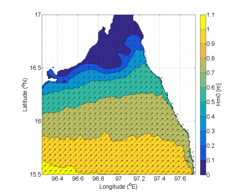
ARTEMIS (part of TELEMAC suite LNH) and PHAROS (Deltares)
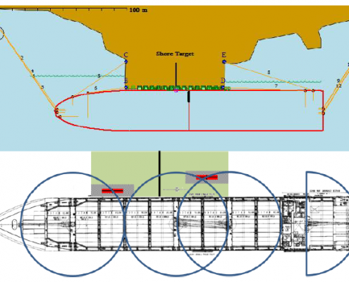
These phase-resolving wave agitation models work in the frequency domain and are for application in sheltered areas where wave diffraction may play an important role. They simulate short wave conditions and long wave resonances in the harbour area accounting for shoaling, refraction, diffraction, reflection and transmission. The effects of directional and frequency spreading can be accounted for using the principle of superposition while the effects of dissipation can be included using iteration.
For the Dutch Harbours, we worked together with HKV to incorporate PHAROS in the assessment of the Hydraulic Boundary conditions for the primary water defenses located in the Dutch harbours.
SWASH (Delft University of Technology)
Aktis Hydraulics routinely uses SWASH to simulate water movements around structures and close to shore, including for evaluation of wave run-up on breakwater structures and evaluation of a (detached) breakwater shielding a terminal. SWASH has also been shown to be applicable for prediction of the generation and release of infra-gravity waves and for representing the effect of access channels on wave penetration more accurately than the models above (i.e. SWAN, PHAROS and TELEMAC).
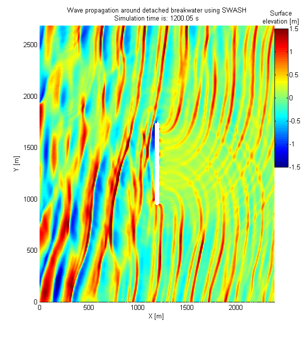
SWASH accounts for refraction, shoaling, diffraction and reflection and is a time-domain model that automatically includes non-linear wave-wave interactions, bound long waves and the release of long wave energy at the tips of breakwaters or other structures that cause large gradients in the wave field. SWASH can also be applied for evaluation of Tsunami wave propagation, crest propagation and the hydrodynamic loads on large objects.

Global wave hindcast data
Aktis Hydraulics has a close collaboration with BMT Argoss that includes sharing databases on a commercial basis. This means that we have access to:
- satellite database of wind and wave data (for calibration and validation purposes);
- database of tidal constituents derived from satellite observations;
- database of tidal currents derived from gradients in tidal elevation and local bathymetry on a resolution of up to 2” depending on the location;
- database of ocean currents at multiple depth levels from public sources;
- hindcast spectral wave data on a grid of resolution 30’ with regional databases with resolution as good as 5’;
- Quality checked databases of tropical cyclone tracks that include maximum sustained wind speed storm radius
- hindcast wind data at 10m elevation with resolution 30’.
In addition, we have the following databases in-house:
- database of ocean currents at multiple depth levels from public sources;
- alternate databases of tidal coefficients;
- add-on databases of tropical cyclone tracks that include various wind radii allowing more accurate reproduction of wind fields.
The key strength of Aktis is to apply the available databases using our knowledge of coastal processes to get results meeting the needs of the client at the locations where he needs them.